Description
USC21_0002
The northern block to extend from Sandy Point to Triangle Cliff on the west and from Indian Head to a point on the east coast due east of Sandy Point; to include 100 acres freehold at the mouth of Browarady Creek, with right to all timber and natural products included within the two areas.
USC22_0003
Two miles from the south end it is 4 miles across, and thence northwards averages about 8 or 9 miles to "Mooan Point," where it broadens to 15 miles, contracting thence northward to 8 miles at Indian Head, 3 miles in the bight of Platypus Bay, and widening at "Rooney Point" at 8; thence tapering to Sandy Cape. From Sandy Cape to Indian Head is a distance of 23 miles.
---
Hawkesworth's edition, Vol. III., page 516, gives Cook's account of where he "saw several people upon the shore." Cook also names "Sandy Cape" from "two very large patches of white sand which lay upon it."
---
The first navigator and white man to land on Fraser Island was probably Mathew Flinders, who ran a ship's boat ashore near Sandy Cape, on the 31st of July, 1802, and had a friendly interview with a party of aboriginals, whom he described as "fine men," and to whom he made a present of a porpoise one of this men had harpooned.
USC22_0004
The following is an extract from his journal:-"In order to give the botanist an opportunity of examining the production of Sandy Cape, I detemined to remain here for a day, and some natives being seen upon the beach a boat was sent to make friends with them, but they retired, and allowed Mr. Brown to botanise without hinderance. Next morning we separated into three parties, those with the naturalist, including six person, going along the shore to the upper part of the bay.
---
The naturalist Brown, afterwards a world-famous botanist, collected a considerable number of plants Sandy Cape, probably the only botanist on Fraser Island from then to the present time. Geologically, Fraser Island is eccentric.
USC22_0006
The sole white inhabitants are the people at Sandy Cape Lighthouse, and the light at Hook Point, and these are 70 miles apart. The Sandy Cape dioptric light stands in a circular 85-feet iron tower 315 feet above sea-level, and flashes every half-minute. It was erected in 1872.
USC22_0008
Sandy Cape: Carree and Manann
USC47_0001
Carree and Mannan Sandy Cape ?
USC60_0001
Further out to sea than Flinders, Cook did not discern Wide Bay Bar and his map shows a very long promontory at Sandy Cape, which he named for its two sandhills.
USC60_0007
The beaches of Fraser Island are one of its notable features and the so -called 75 mile beach runs from Hook Point at the extreme south end to Sandy Cape.
USC60_0015
Aborigine dead were said to have been bark-wrapped and perched in trees, but were all buried when the Mission was established. Their boomerangs were made of Carrol and at Sandy Cape at least they could not use a womerah in 1802.
USC60_0016
Apart from the Forestry Settlement at Woongoolver and Forestry camps the only permanent residents are the lightkeepers at Sandy Cape and Hook Point, and a cottage at the old abandoned cable house tested at Bogimbah.
---
During the war there was an air strip at Sandy Cape and some huts and steel mesh are still there. There was also a coast-watchers station two miles north of the "Maheno" , whilst the latter became a bombing target for trainee airmen.
---
The cable connecting the mainland with Sandy Cape lighthouse was ruptured by a dragging anchor some years ago and is now entirely
USC142_0001
By a strange co-incidence, the red bearded John Pigott, known as "Yankee Jack" was killed by a native in 1864 near Sandy Cape almost within sight of the week-old wreck of the 400 ton barque "Panama" on which most of the crew still lived. On clam days, the wreck can be seen deep in her watery grave.
USC281_0001
The "PACIFIC ISLANDER" is available for charter to as far north as North Reef and south to Caloundra, this includes Lady Elliot & Lady Musgrave Islands, Fairfax Island and the Capricorn Group. This area is one of the best for Big Game & Deep Sea Fishing in Australia. Day trips to the Sandy Cape Shoals and 22 mile Gutter are also available.
USC281_0002
[map annotation]
BREAKSEA SPIT EXPLANATION
SANDY CAPE
MARINE CRETACEOUS SEDIMENTS
BASALT HEADLANDS
Sandy Cape
Lighthouse
USC281_0003
Fraser Island is seventy-seven miles from Sandy Cape, its most northern feature, to Hooh Point in the south.
USC281_0004
Cook named Indian Head, Sandy Cape and Breaksea Spit and Cook describes the past of the coast as moderately high and very barren, there being great patches of moveable sand many acres in extent through which appeared in some places the green tops of tree half buried and in others the naked trunks of such as the sand had destroyed.
--
Flinders proceeded, landed three parties at Sandy Cape near where Sandy Cape lighthouse stands. One party collected firewood, another party of six naturalists under botanist Brown studied the flora whilst Flinders befriended the aboriginals whom he considered extremely numerous and of good physique.
USC295_0005
NOTE: In MOONBI 49 it is proposed to record some of the history and features of SANDY CAPE. Any readers should feel free to comment on any of these features, correct or enlarge on the information in them to ensure that this history does not die with the present generation.
USC313_0016
Seary, Pat and Mrs
Got permission to take the first bullocks to Fraser, Pat looked after the telegraph line to Sandy Cape - his wife lived on island for 15 years.
USC313_0018
Seary, Pat and Mrs
Got permission to take the first bullocks to Fraser, Pat looked after the telegraph line to Sandy Cape - his wife lived on island for 15 years.
USC617_0002
The building of a lighthouse at Sandy Cape in 1870 did much to relieve the danger of sailing in Fraser's waters.
---
John Simpson is believed to have been the first lighthouse superintendent. His stone grave can be found on the original track up to the lighthouse. A school was established at Sandy Cape for the children of families living there.
USC617_0004
1770 Sandy Cape Named by Captain Cook because of two large patches of white sand on it.
Grave of first lighthouse superintendent.
1884 "S.S. Chang Chow" struck Sandy Cape Shoal.
1886 Steamer "Heka" foundered 15kms east of Sandy Cape.
USC1040_0002
Establishing Kgari Trail - Fraser Island This project is aims to construct Stage 1 of the Kgari Walking Trail, a long-term project to establish a walking trail away from motorized vehicle routes from Sandy Cape to Hook Point, the full legth of Fraser Island. This has the potential to become Australia's premier long distance bushwalking destination.
USC1040_0003
The Kgari Trail has been proposed by the Fraser Island Defenders Organization as a long distance walking trail on Fraser Island since 1976. The Kgari Trail is intended to offer a walking trail the full length of the interior of Fraser Island from Sandy Cape to Hook Point. However part of the Kgari Trail involves developing branch tracks to special features such as sand blows, superb examples of forest such as the "Valley of the Giants".
Related Subjects
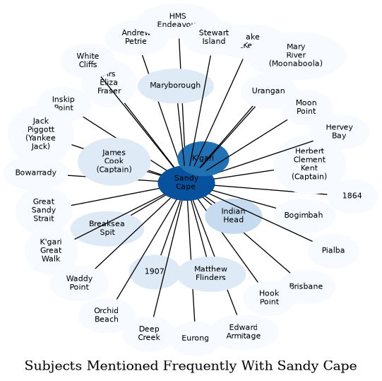
The graph displays the other subjects mentioned on the same pages as the subject "Sandy Cape". If the same subject occurs on a page with "Sandy Cape" more than once, it appears closer to "Sandy Cape" on the graph, and is colored in a darker shade. The closer a subject is to the center, the more "related" the subjects are.