Pages
1
[written diagonally, in pencil, top left] 800 copies North map
[oval stamp, left of centre] COLONIAL SECRETARY'S OFFICE, QUEENSLAND 4,597 / 10 JUN 87
[royal stamp, centred] Queensland HONI . SOIT . QUI . MAL . Y . PENSE DIEU ET MON DROIT
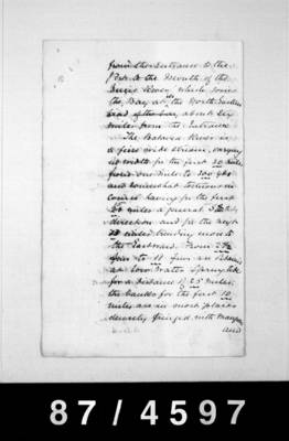
[written at top] Benches Report re visit of inspection of the Batavia & Ducie Rivers
Government Residency.
PM Thursday Island Torres Straits.
10th May 1887
Sir,
I have the honor to inform you that I left Thursday Island in the "Albatross" on the 2nd inst with the intention of inspecting the Batavia and Ducie Rivers.
I was glad that Mr E Cullen, Marine surveyor attached to the Harbours and Rivers Department, was enabled to accompany me, thereby rendering the observations and soundings taken during the trip quite reliable and of greater value than if by an amateur.
I did
The Honble
The Chief Secretary
Brisbane
[written in left margin] Previous
87. 4500 Treas'y B/C Portmaster 7 - 6 - 87
[written under that] Away
[written in left margin] *** Paper
R Gray
10 June 87
2
I did not take a Pilot with me, but had arranged to meet one at the mouth of the Ducie to show me the way in, however he failed to keep his appointment and we did fairly well without him. About midday on the 3rd inst we made what has hitherto being called the mouth of the Batavia River and proceeding in, we found that instead of it being the true mouth of the River, we were in a magnificent harbour into which the Batavia and Ducie Rivers empty themselves. This harbour, (which I have called Port Musgrave on the plan which I now have the honor to forward you under a separate cover,) is without doubt, perhaps excepting Port Curtis, the finest
3
finest natural harbour on the Queensland coasts. The Entrance to it is safe in all matters and it will form a most useful harbour & refuge (when it becomes more known) for vessels that may be caught with heavy weather during the North West Monsoon in the Gulf of Carpentaria.
From 4 to 6 Fms are carried in a wide channel on a S.Ely course to the Southern Entrance to the Bay, which I have named Cullen Point, and close to which the passage lies, and immediately on rounding the Point 8 to 12 Fms are got within 100 yards of the beach, and a little further in, perfect sheltered
4
sheltered anchorage can be found in 7 Fms only 150 yds from the beach. The Bay or Port is about 15 miles in circumference and is shallow on the Entrance Northern side and on the South Eastern side, but a considerable depth of water is obtained extending over a mile in width extending from the Entrance to near the mouth of the Batavia River which debouches at the South West corner of the Bay about five miles from the Entrance. While waiting for the Pilot, soundings were taken over a greater part of the Port and a deep water though somewhat intricate channel was found leading from
5
from the Entrance to the Port to the Mouth of the Ducie River which joins the Bay at its the North Eastern head of the bay about six miles from the Entrance.
The Batavia River is a fine wide stream, varying in width for the first 30 miles from one mile to 300 yds and somewhat tortuous in course having for the first 15 miles a general S.Easterly direction and for the next 43 miles trending more to the Eastward. From 2 Fms to 11 Fms are obtained at low water Spring tides for a distance of 25 miles: the banks for the first 10 miles are in most places densely fringed with mangroves and