Pages
33054-000002-0001
[top left, in pencil] Bundle 16/57
[centred, and underlined] (No. 57)
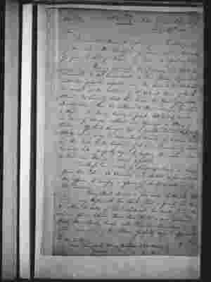
[on right] H.M. Colonial Cutter "Snapper" July 29th 1822.
Sir,
I have the Honor to inform your Excellency of my Arrival in the Snapper as above, and in the execution of your Excellency's Orders beg leave to report as follows.
Having delivered the Provisions and Stores for Newcastle to the Commandant at that Station, I proceded [sic] with all possible despatch along the Coast to the Northward and arrived at the Latitude of 28° 30 S at Noon of the 14th Ultimo, the Line of Coast then became the Object of my closest Investigation. From this Latitude to Point Danger the Land is High with Sandy beaches in front, bold to half a mile and clear of Danger, without any Openings or Places of Shelter. Off Point Danger lies a small Island, High and bold to, which may be seen about 12 miles off - between this and the Reefs to the Eastward of it is a Channel of about two miles wide perfectly safe by keeping the Island close on board and steering in about 10 fathoms.
The Reefs are a set of Dangerous Shoals and bear from the Island SE 2 1/2 miles and stretch as far as ENE they appear to occupy a space of about 4 miles in a NE direction.
From Point Danger a few miles Northerly the Land is very High, with low Sandy Land in front, and thence to within 20 miles of Point Lookout, low sandy Land. The whole space between those two Points is one continued Half Moon Sandy beach with Regular Soundings, and to within one mile of the Shore perfectly safe to approach.
[on right] The
[bottom left]
To
His Excellency
Major General Sir Thomas Brisbane K.C.B. F.R.S. &c
Governor in Chief
........................................................ &c ... &c ... &c }
33054-000002-0002
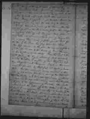
The opening at the South part of Morton Bay can only be entered by Boats as there is only nine feet at low water, and the inside barricaded by dry sands. In Bad weather it breaks right across, and the Tide runs about 4 1/2 Knots. Finding it impossible to get the Cutter through this passage I made way round the North end of the Island and worked up. First about 7 miles up the Pummice Stone River and then proceded in the Boat 11 miles further, this last part was completely choked up with Mangrove Flats, Sands and Mud banks, both shores a continued line of Mangrove bushes and in many Places barely passable for the Boat; from the Head of this River the Glass Houses bear W.S.W.
The Ships channel into this place the only one possible to get through, lies close to the Beach of Point Skirmish and has 4 fathoms at Low Water. From this Point to the South part of the Bay a distance of about 30 miles by 22 miles the whole is composed of Sand Ridges and Deep Holes interspersed with Mangrove Islands and these again surrounded for miles by Mud flats and Oyster or Muscle Beds. The tide running in various directions at the rate of 3 to 4 miles per hour stirs up the Mud and Sand so thickly as to hide all appearances of Shoals or Sands and in deep water causing such strong Overfalls as to give it the appearance of Shallows. After repeated exertions to get the Cutter up to the Bottom of the Bay I found it was impossible and was obliged to procede up the South River in the Boat. This River extends about 27 miles in a SSE direction and is only seperated from the Sea by a Narrow neck of low Sandy Land, is full of Shoals Sands and Mangrove Islands with deep water but no regular Channel. It
33054-000002-0003
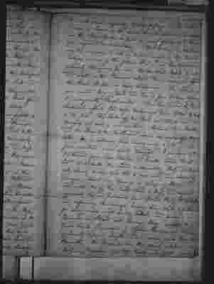
It is with much difficulty that a passage can be made in even a Boat, as the Sands are so extensive and shallow and the Tide falls so fast in many places as to leave you aground a mile dry. The Natives in both Rivers are too numerous to risk a landing except on the Islands. Taking a view of this place it is in my Humble opinion extremely Dangerous for even the smallest Vessels to enter and except in the Pummice stone River does not afford the least Shelter or safe Anchorage. The Island is one entire body of sand and has a few Natives upon it consequently Fresh water. The Bay formed by Point Lookout affords Good safe Anchorage from W.N.W by South to SE. Gales. The Rocks off this Point are bold to - and no Dangers but such as are visible. Between Cape Morton and the Shore to the Northward about six miles off the latter, lies an extensive flat having only 6 feet and in fine weather is not easily discovered. In proceding to the Northward from Cape Morton to Double Island Point in Lat'de 25° 54 South the Land is alternately High and low with Sandy beaches but bold to one mile, and clear of Danger, without any Openings or places of Shelter. Ten miles NW of this Point which is High and safe to approach lies an Entrance from Wide Bay to a safe and capacious Anchorage having from 14 to 3 fathoms for many miles - Soft muddy bottom and forming a Channel or Strait into Hervey's Bay renders the Great Sandy Peninsula of Captain Flinders an Island, of Seventy miles in Length and in some parts 14 or 15 in Breadth. The Channel into this place is between the Northern Breakers and the Shore, and affords room to
33054-000002-0004
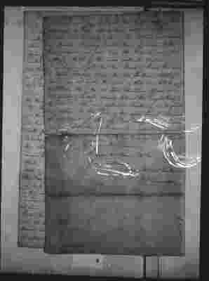
to work in with any wind. At the South part of this Anchorage a River extends some distance in a SW to S direction and has deep water. The Natives are numerous and Hostile. My very limited time of return to this Port prevented me from being able to make more than a Hasty Sketch [underlined] of this most excellent Harbor. I am happy to add that the Bank of Shoals laid down by Captain Flinders between the two Southern Solitary Islands does not exist. The whole of them are bold to except two Rocks NW of the SE Island stretching off one mile, but affording a safe channel between the largest Rock and the Island. The very continued Southerly Winds prevented my return to this Port by the appointed time namely the 24 Instant. I called off Port Macquarie and Newcastle for their Despatches which have been respectively forwarded I am happy to say that his Majesty's Cutter has not received any Injury on this Service.
I have the Honor to be Your Excellency's Most Obedient humble Servant Wm L.Edwardson


